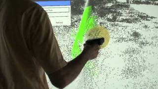
LiDAR Viewer on Vive with Aerial LiDAR Scan
3,619 views · Published 14 December 2017 · 7:12 · Indexed 12 November 2026
Channel: okreylos · 2017 · Science & Technology
Using LiDAR Viewer to explore and analyze an aerial LiDAR scan of the city of San Francisco and environs. The raw LiDAR data were colorized by mapping a set of aerial photographs onto the 3D point cloud using the images' georeferencing information.

The LiDAR data were collected by UC San Francisco under an ARRA grant, and the aerial images were collected under the National Agricultural Imaging program.

The LiDAR scan contains approximately 1 billion 3D points.

More information: http://idav.ucdavis.edu/~okreylos/ResDev/LiDAR