Vexcel
558 views · Published 22 May 2013 · 3:58 · Indexed 23 October 2026
Channel: NASA Video · 2013 · Science & Technology
With assistance from Stennis Space Center, Vexcel was able to
strengthen the properties of its Apex Ground Station,T an affordable,
end-to-end system that comes complete with a tracking antenna that
permits coverage within an approximate 2,000-kilometer radius of its
location, a high speed direct-to-disk data acquisition system that can
download information from virtually any satellite, and data processing
software for virtually all synthetic aperture radar and optical
satellite sensors. Vexcel is using an Apex system linked to the Terra
satellite to help scientists and NASA personnel measure land and ocean
surface temperatures, detect fires, monitor ocean color and currents,
produce global vegetation maps and data, and assess cloud
characteristics and aerosol concentrations. In addition, Vexcel is
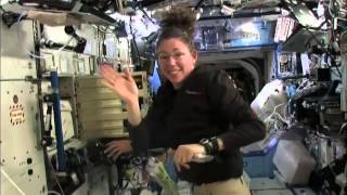
providing NASA with close-range photogrammetry software for the
International Space Station. The technology, commercially available as
FotoG,T was developed with SBIR funding and support from NASA's Jet
Propulsion Laboratory. Commercially, FotoG is used for demanding
projects taken on by engineering firms, nuclear power plants, oil
refineries, and process facilities. A version of Vexcel's close-range
photo measurement system was also used to create virtual 3-D backdrops
for a high-tech science fiction film.
SpinOff Story:

Vexcel Spells Excellence for Earth and Space